We've created interpretive signs and kiosks that appear in many locations throughout the state of Colorado. You'll find them along roadsides, trails, and neighborhoods — both near the Front Range and out in the far backcountry.
These signs were created to help the residents of a large suburban community learn more about the place that they call home. The Southshore neighborhood lies just south of Aurora Reservoir, east of Denver, Colorado. They commissioned Notchcode to create six signs that would tell the stories of the area's rich indigenous and post-contact histories, geography, hydrology, geology, flora, and fauna. The signs, placed along the subdivision's extensive pedestrian path system, offers residents and visitors a deep look into each of these subjects, with more content than you usually see on a roadside sign — these signs will be seen many times by the same people, and they'll be able to get something new and interesting from them each time they pass by.
We collaborated with historians, geographers, scientists, and cartographers to create original content for each panel, resulting in a unique set of signs that tell the specific story of this high plains area. The panels were fabricated using a process that guarantees colorfastness for ten years, and is vandal-resistant. The subdivision had five existing stanchions on which to mount most of the signs, and our local fabricator created a sixth one to match. We hope that these signs will inspire curiosity — and answer some questions — about the things folks see around them, every day.
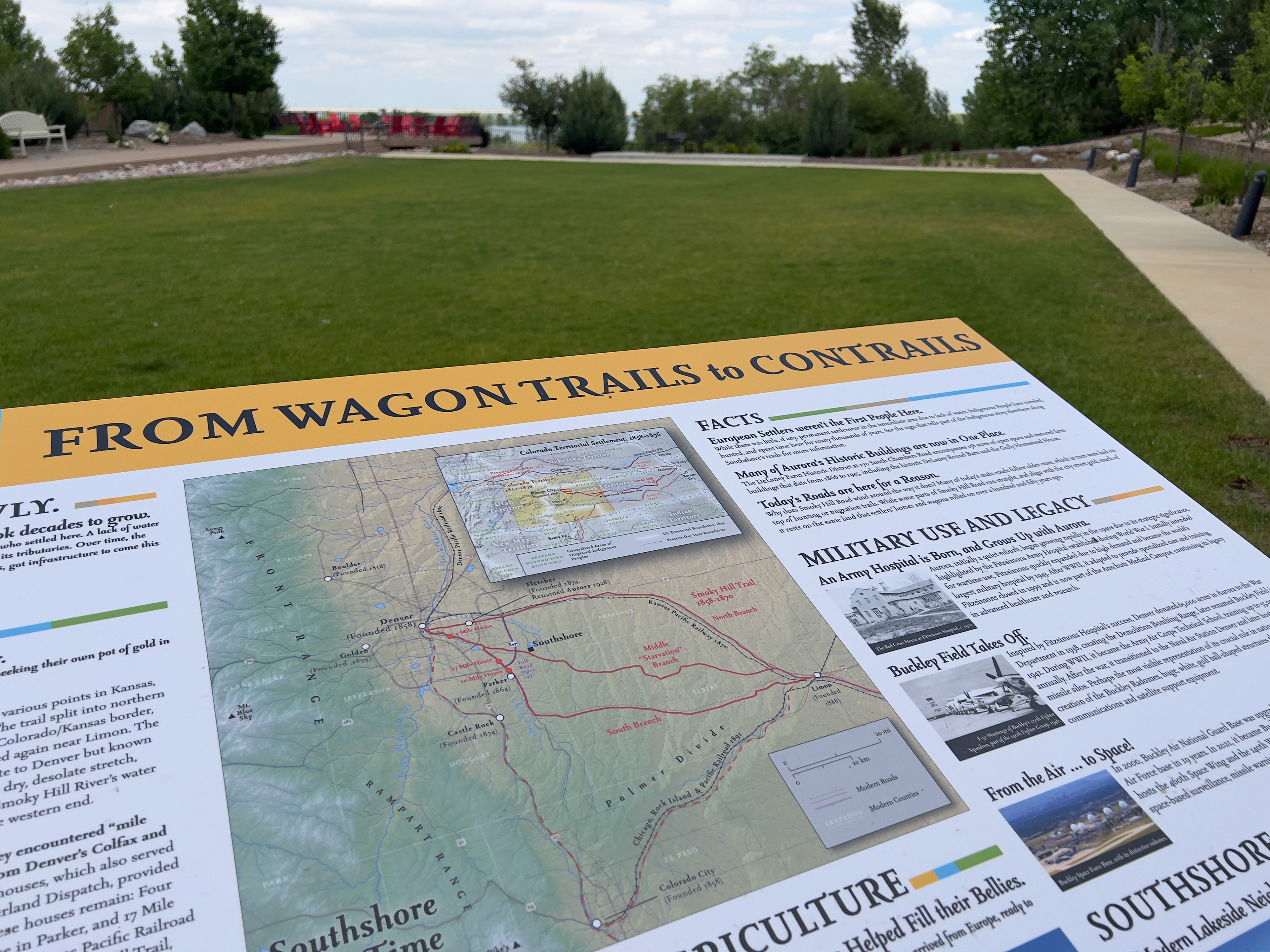
A detail of a sign about the post-contact history of southshore, titled "From Wagon Trails to Contrails"
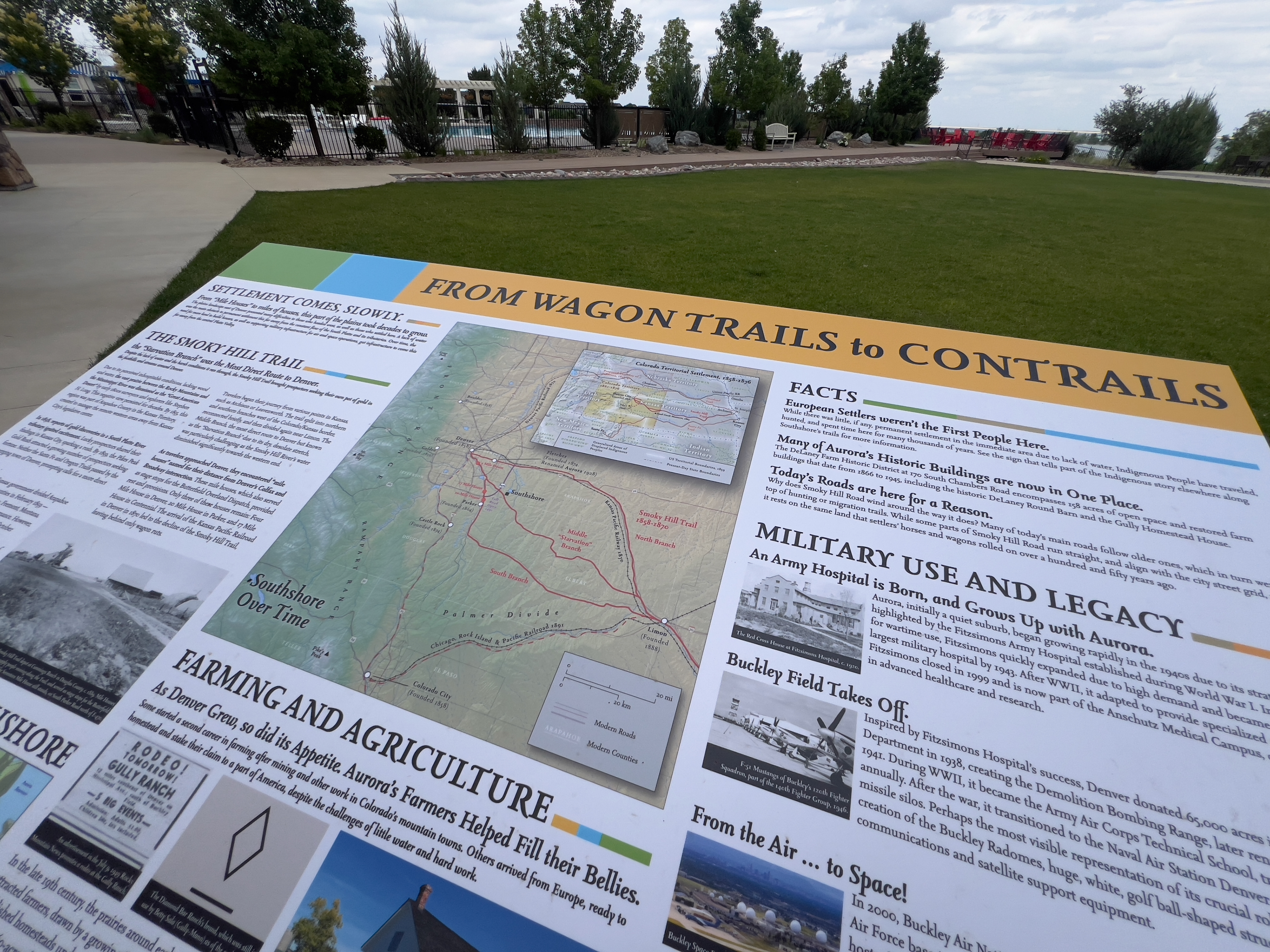
Another detail view of a sign about the post-contact history of the area, showing a custom-made map of settlement and migration, and historic images sourced specifically for this project.
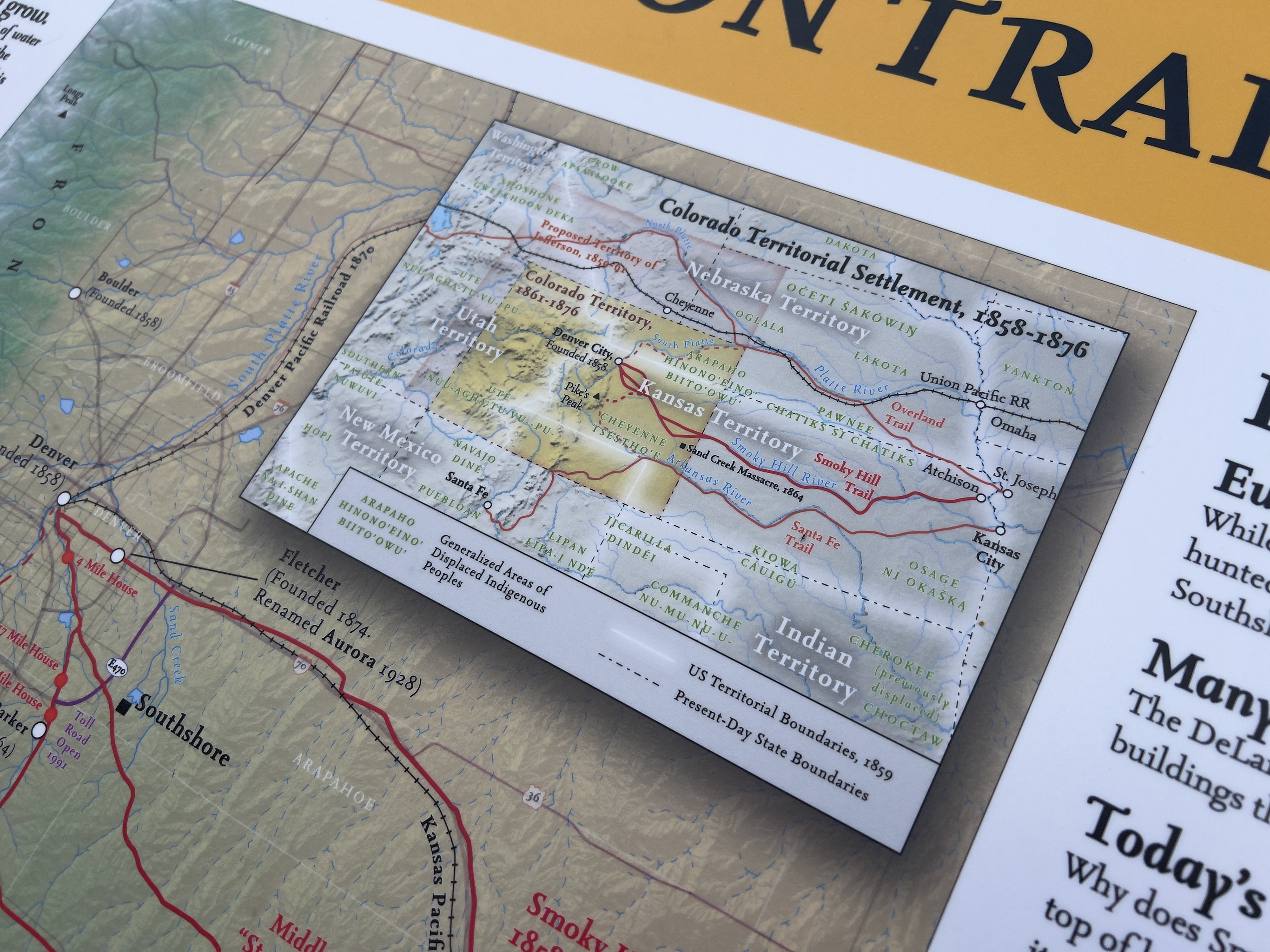
A close-up of the map on the post-contact history sign panel, titled "Colorado Territorial Settlement, 1858–1876"
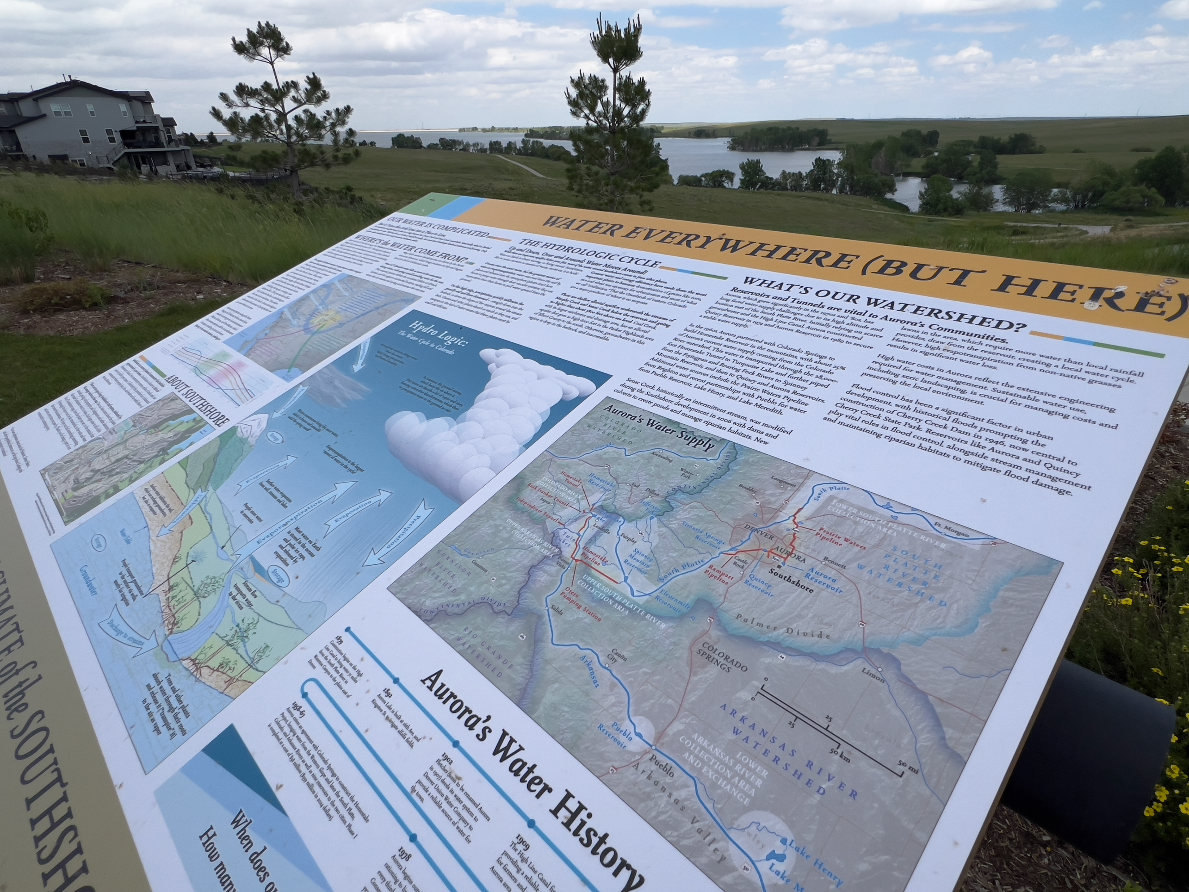
An overview of an interpretive sign about hydrology in the area of Southshore and Colorado's front range, titled "Water Everywhere (But Here)." It includes several maps and diagrams that highlight annual weather patterns along Colorado's front range.
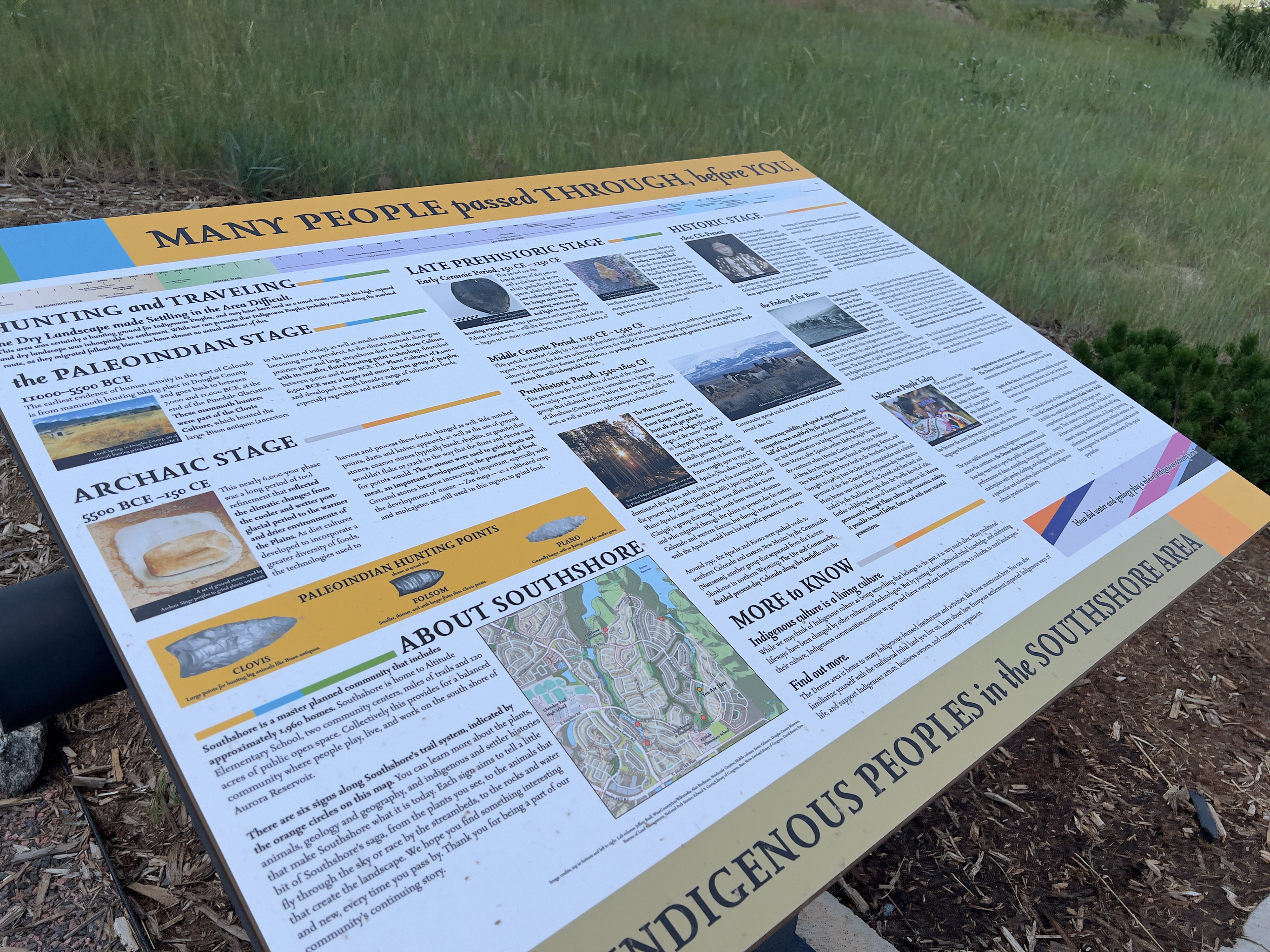
An overview of a sign covering this part of Colorado's Indigenous History, titled "Many People Passed Through, Before You." there is a timeline of Indigenous occupation of the area, including notable cultural and technological details, and photographs and custom illustrations of Indigenous pre-contact artifacts.
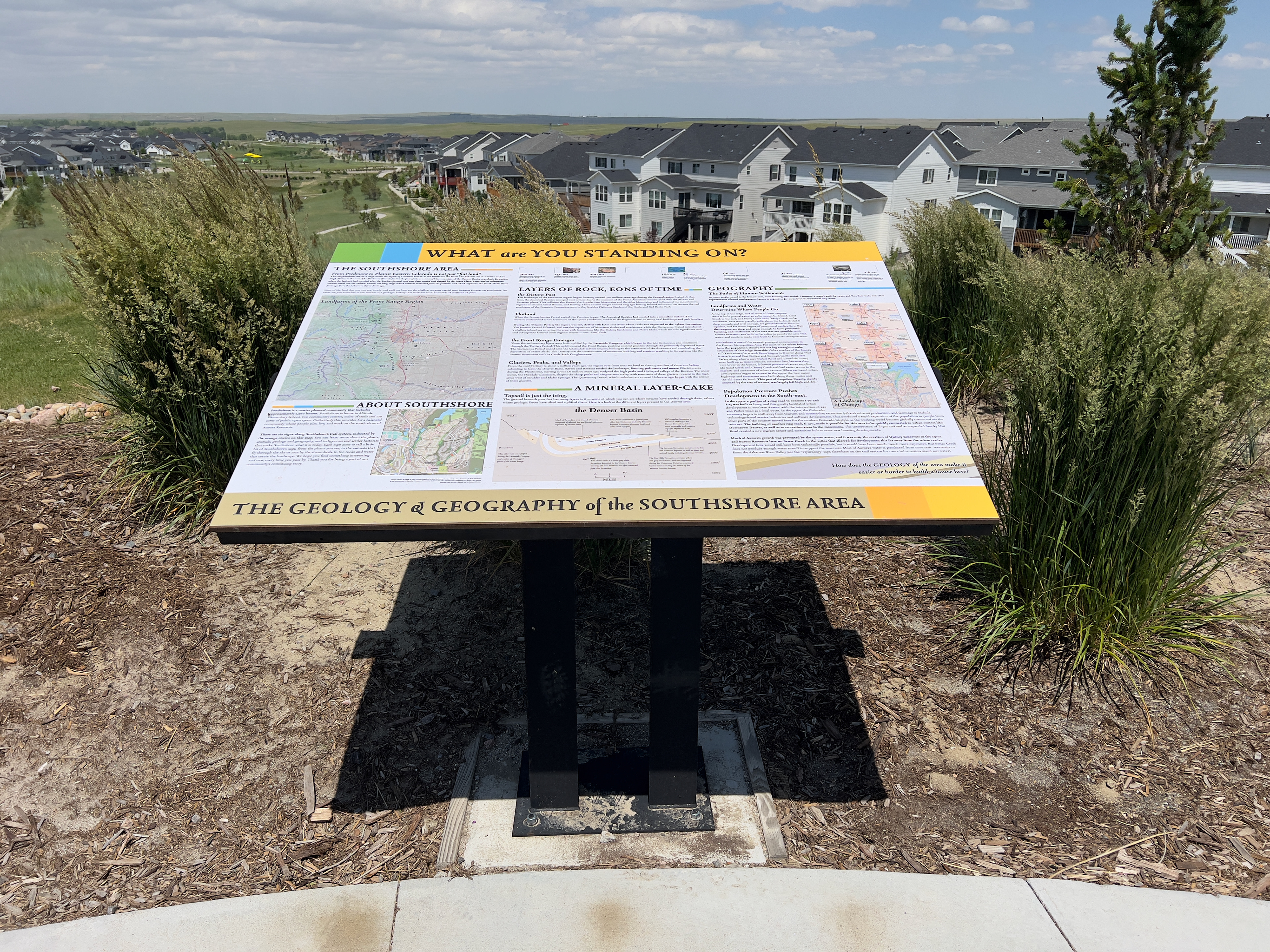
Overview of a sign about Southshore's geology and geography, titled "What are You Standing On?" The sign has several customized maps made for this project, and a diagram of the geology underlying the Denver Basin area.
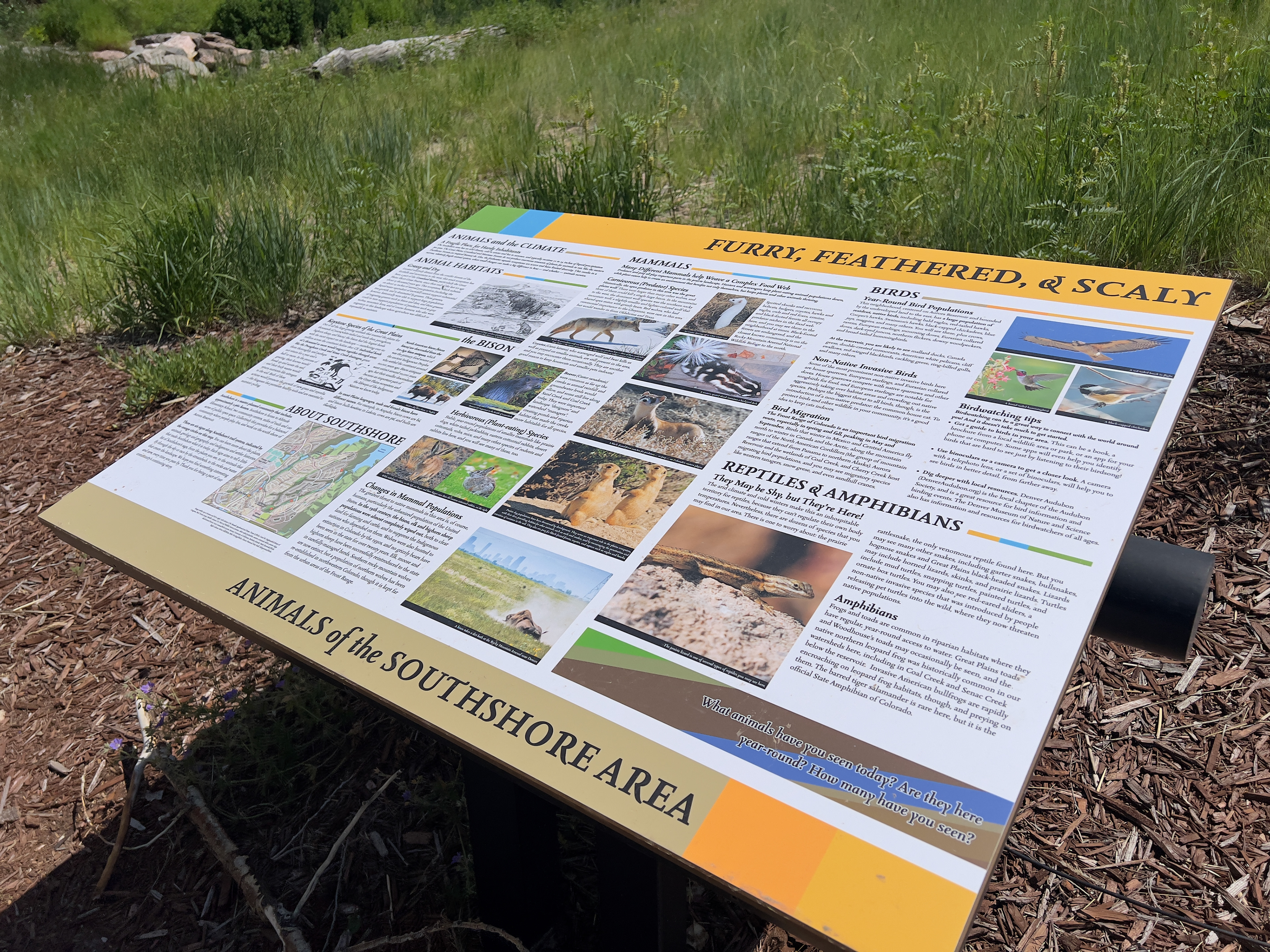
Overview of a sign about the animals found around the Southshore Area in Colorado, titled "Furry, Feathered, and Scaly." There are sections on historic animal populations that used to occupy the area, as well as common animals that can be found there today.
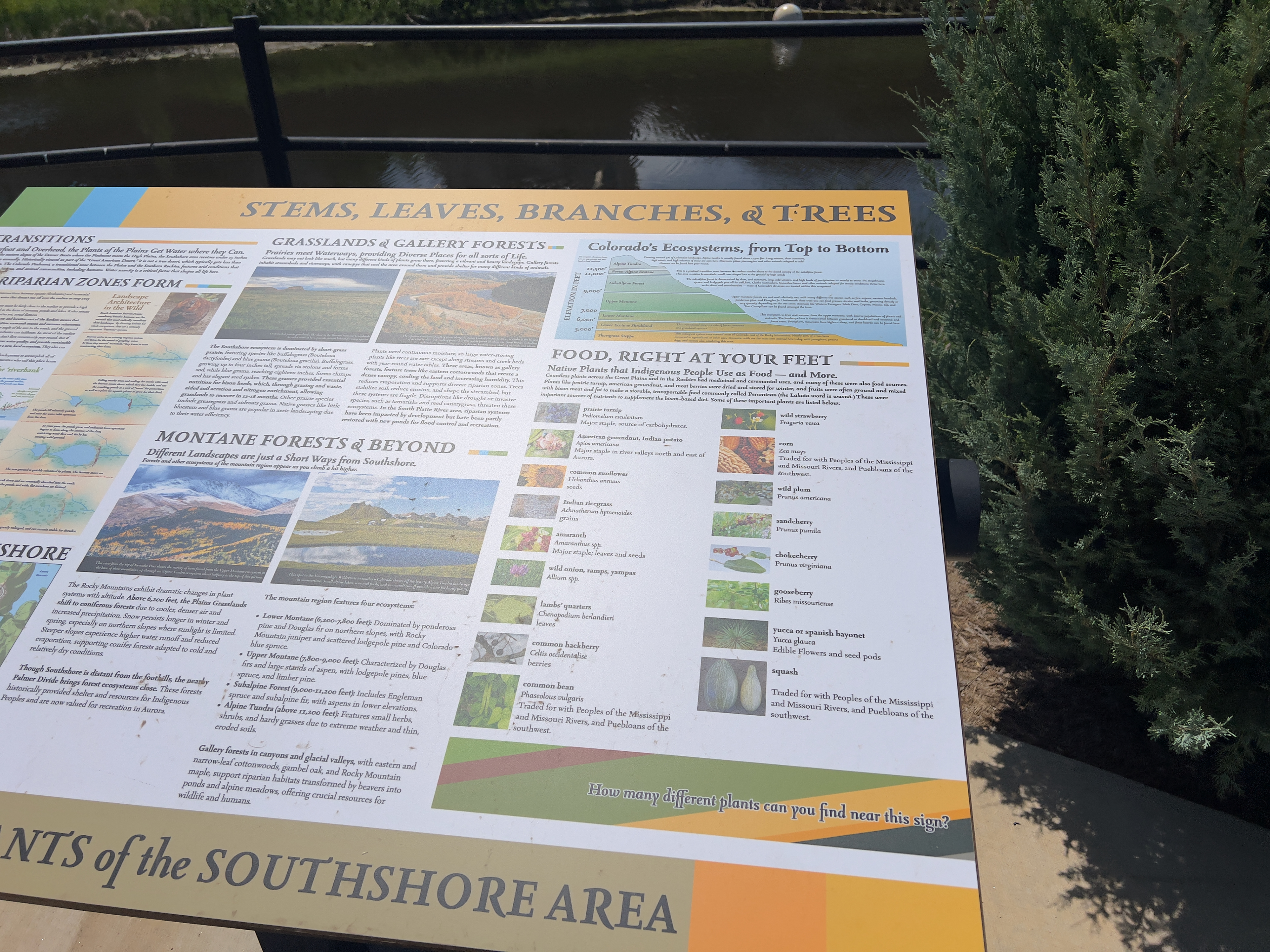
Detail of a sign about Southshore's plant life, titled "Stems, Leaves, Branches, and Trees." It has custom illustrations of Colorado's ecotones, and diagrams of how riparian areas evolve, plus plants that historically served as food sources for Indigenous populations.
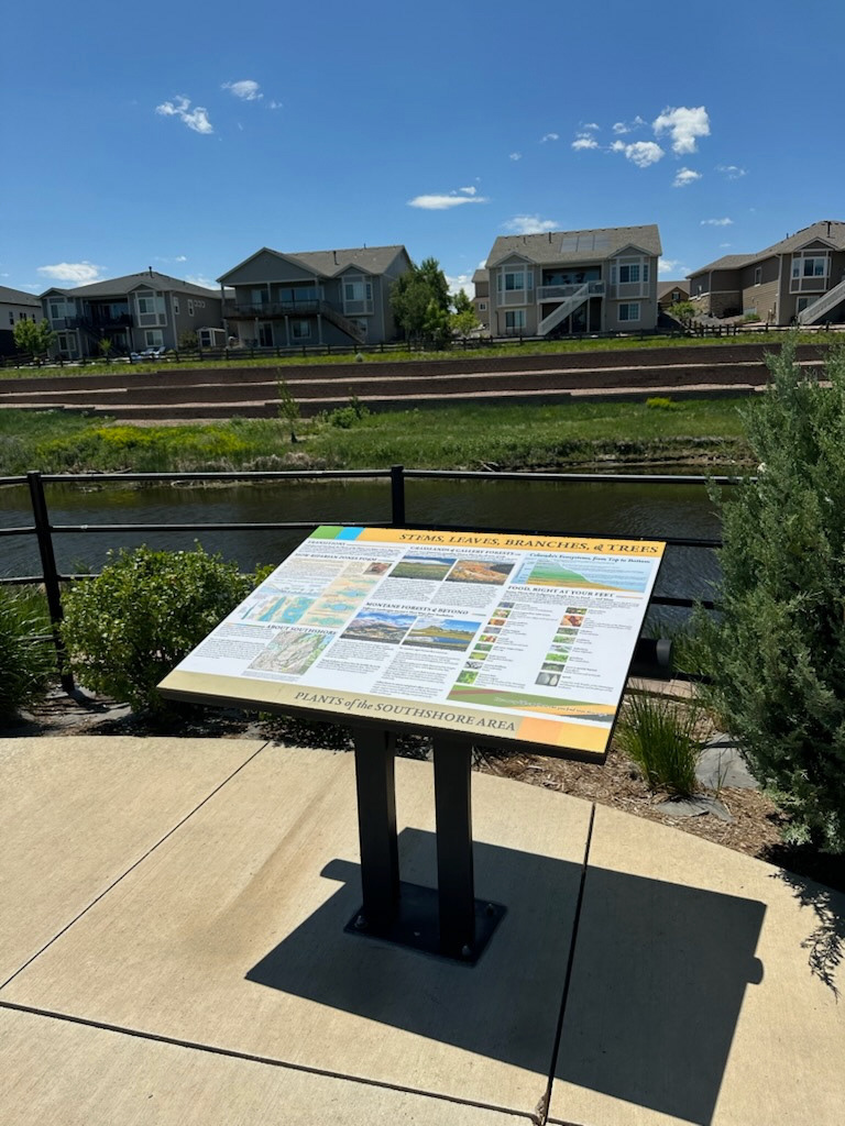
An overview image of the plant life sign showing it in context with its environment.
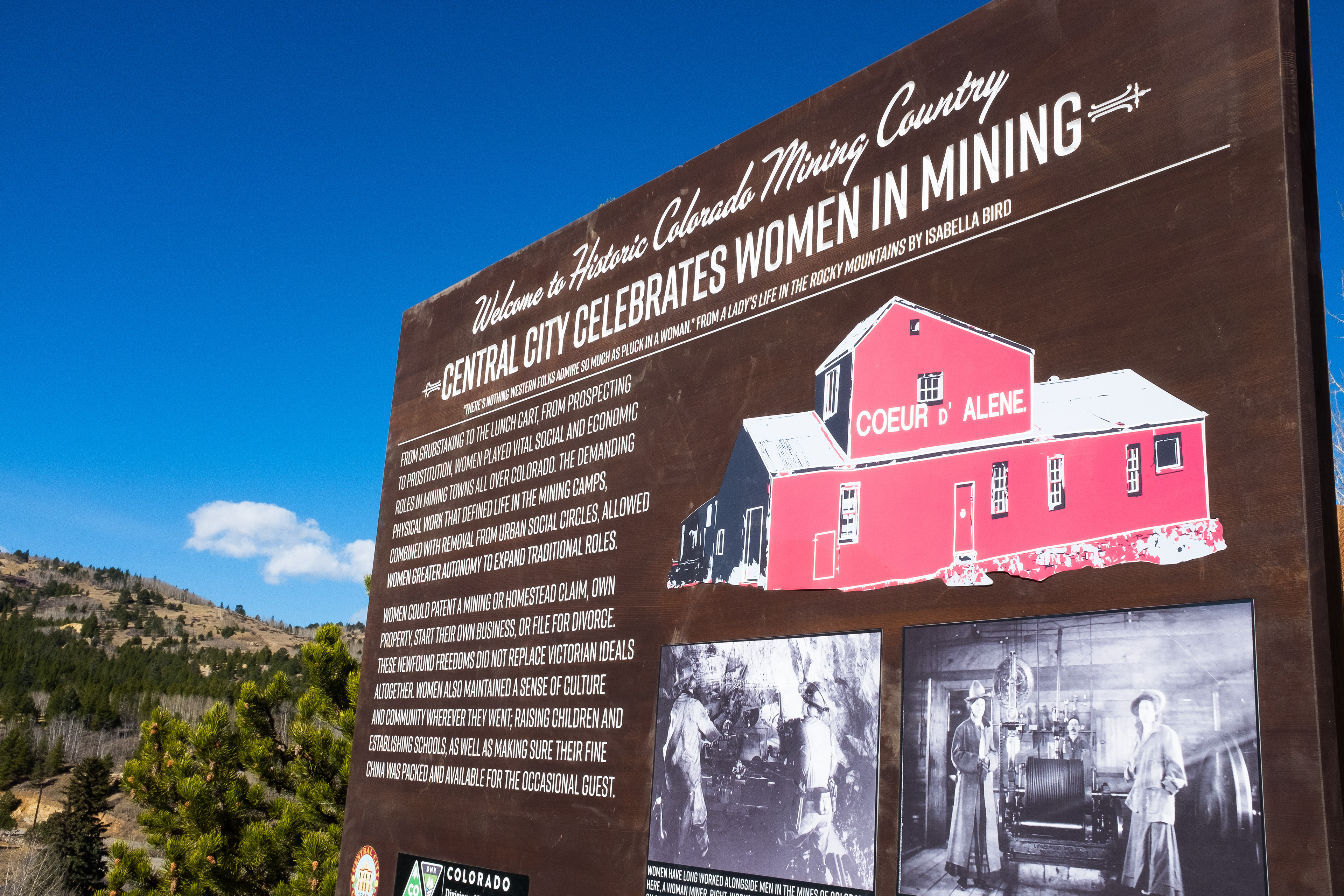
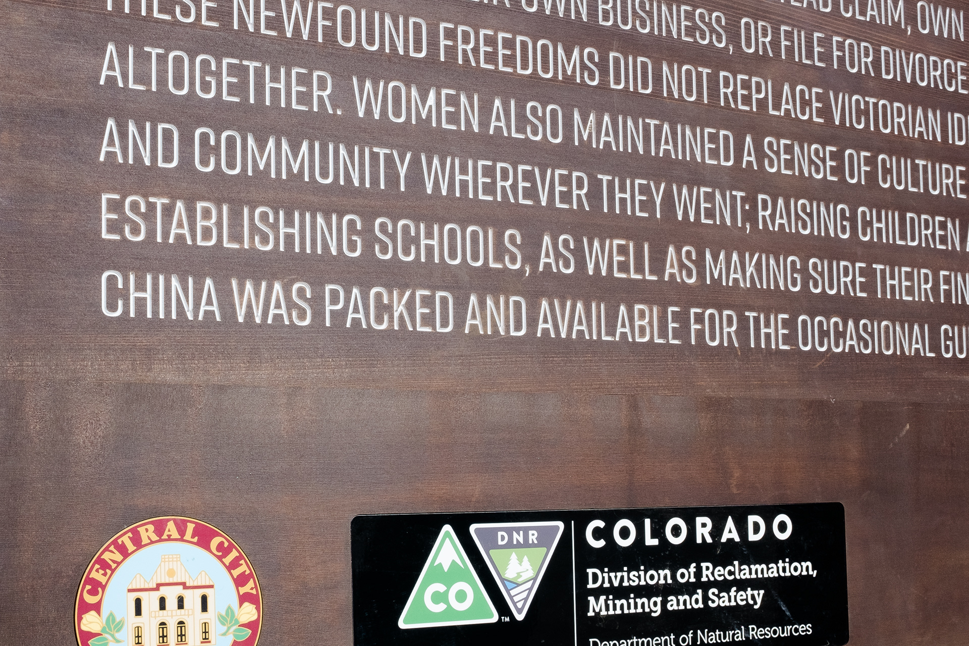
This sign near Central City, Colorado features the history of women in mining. The sign includes a narrative about the different roles women played — both in the mining industry and in the rough-and-tumble camps and towns that grew up around it. It is made out of cedar, with inset graphic panels. Letterforms are routered out of the wood surface and painted, much like the classic US Forest Service and National Park Service memorial signs seen at the entrance to public lands throughout the west. The eight foot-wide sign was built to last by a local specialty sign fabricator in central Colorado.
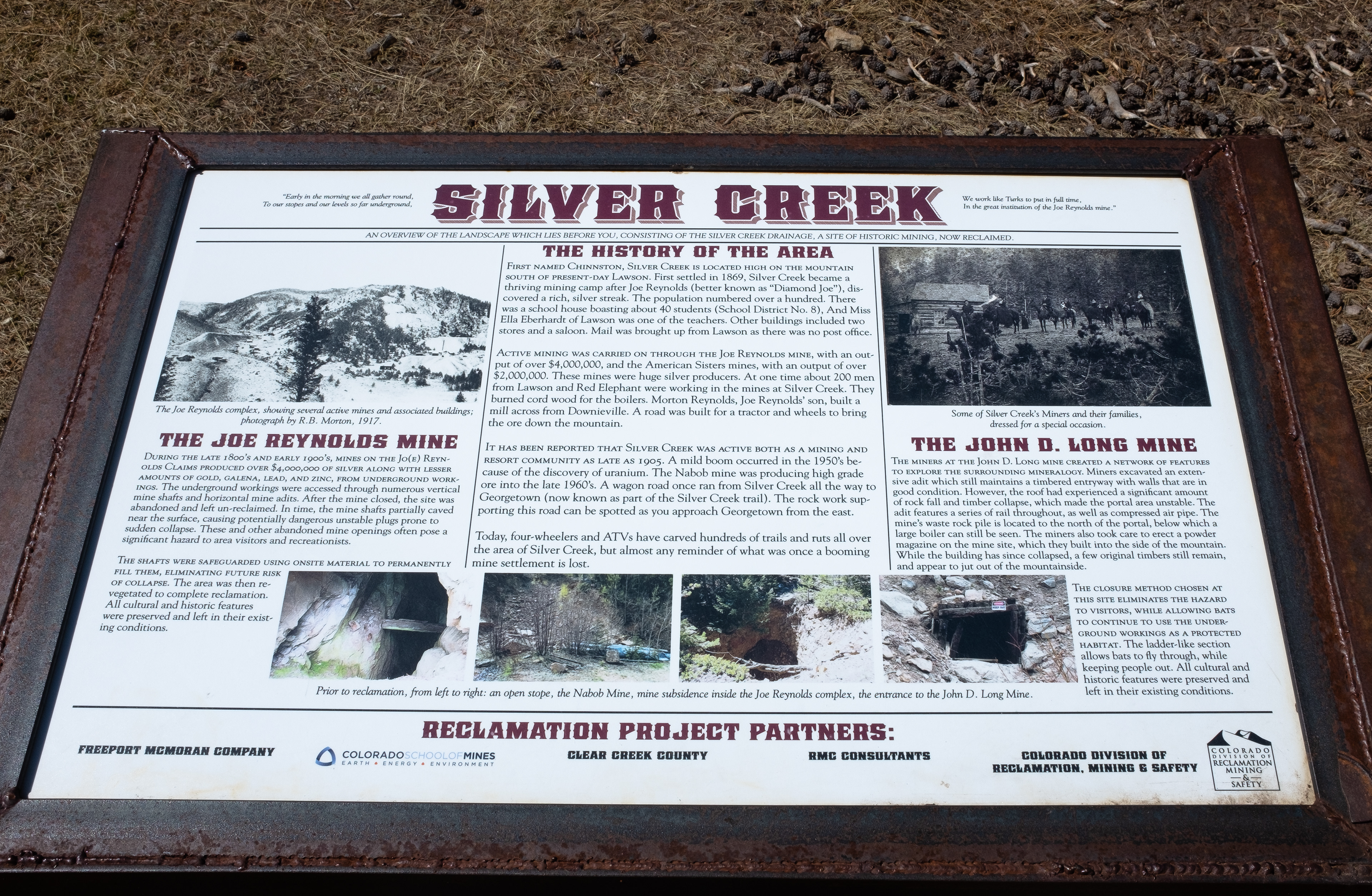
This sign tells the story of a group of mines to the south of Downieville, Colorado, and how they were reclaimed. The sign is positioned to show the viewer the current state of the area, along with the historic views visible in the photographs on the sign. Pre-reclamation photos show how dangerous unstable entries and locations were, and give a narrative of how the site was safeguarded. The sign frame is custom-fabricated out of metal by a Denver-area fabricator, using an ADA-compliant design to ensure accessibility. The sign panel is a composite laminate that resists fading, vandalism, and is waterproof — all functional requirements for interpretive signs that are located in Colorado's harsh environment.
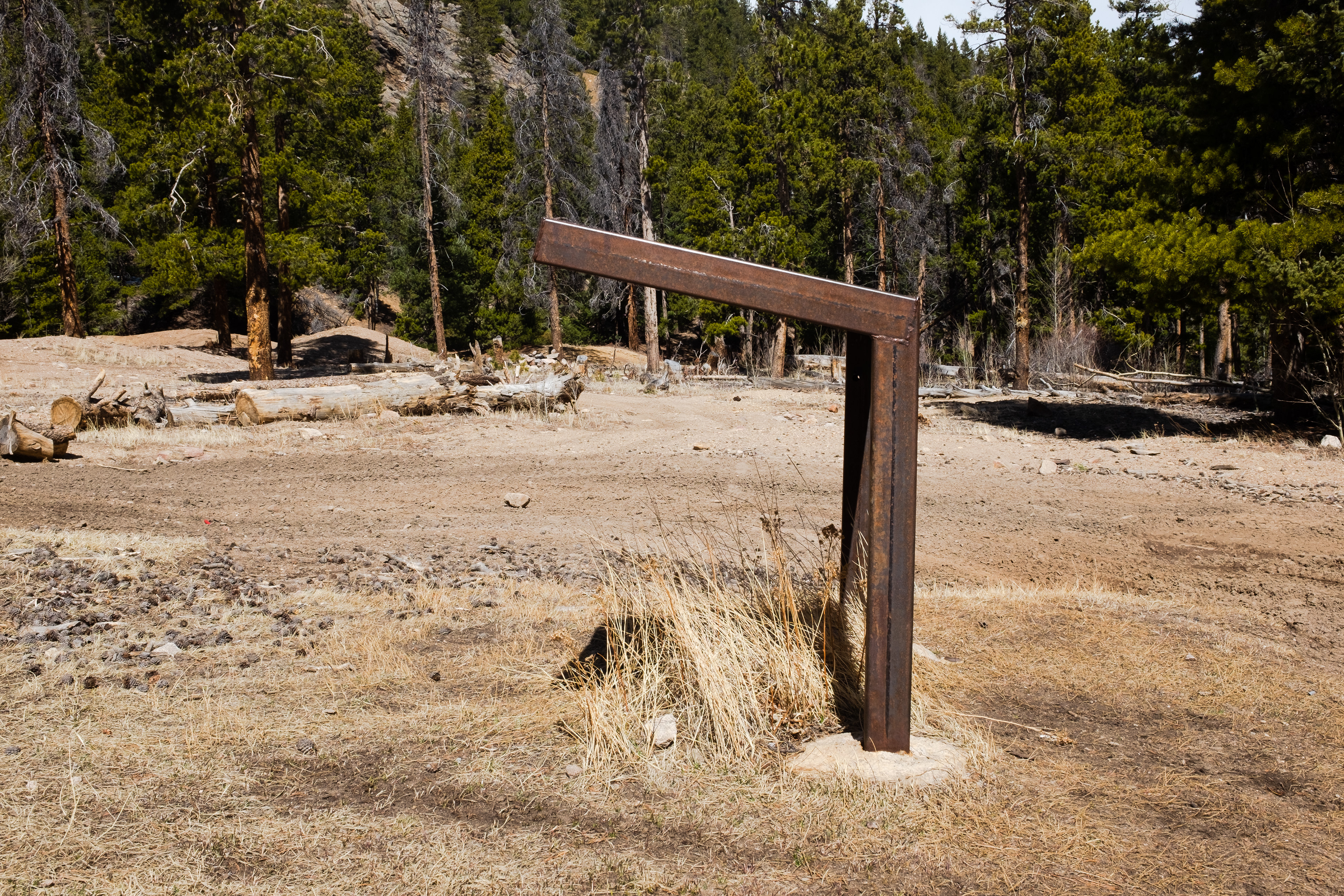
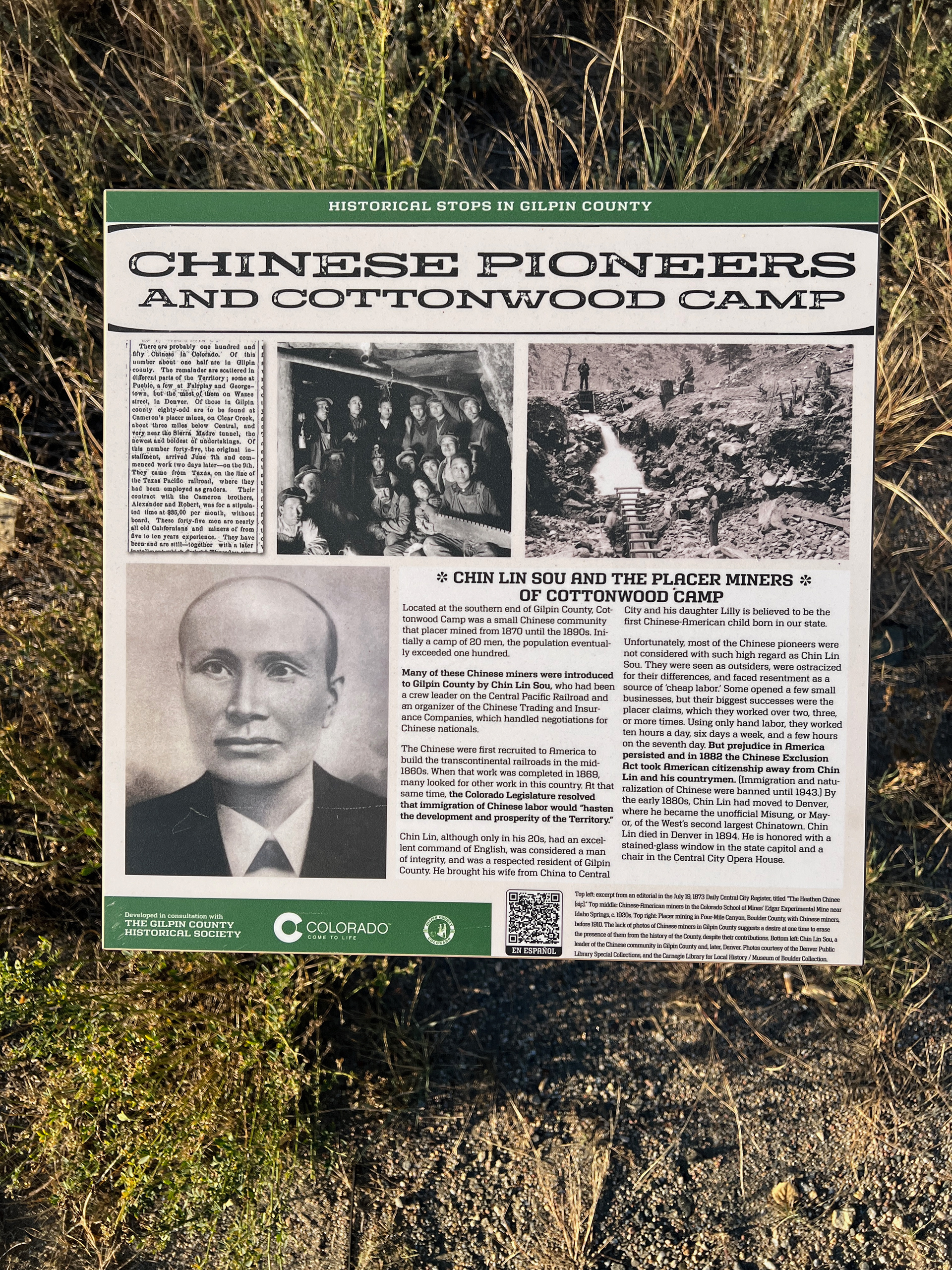
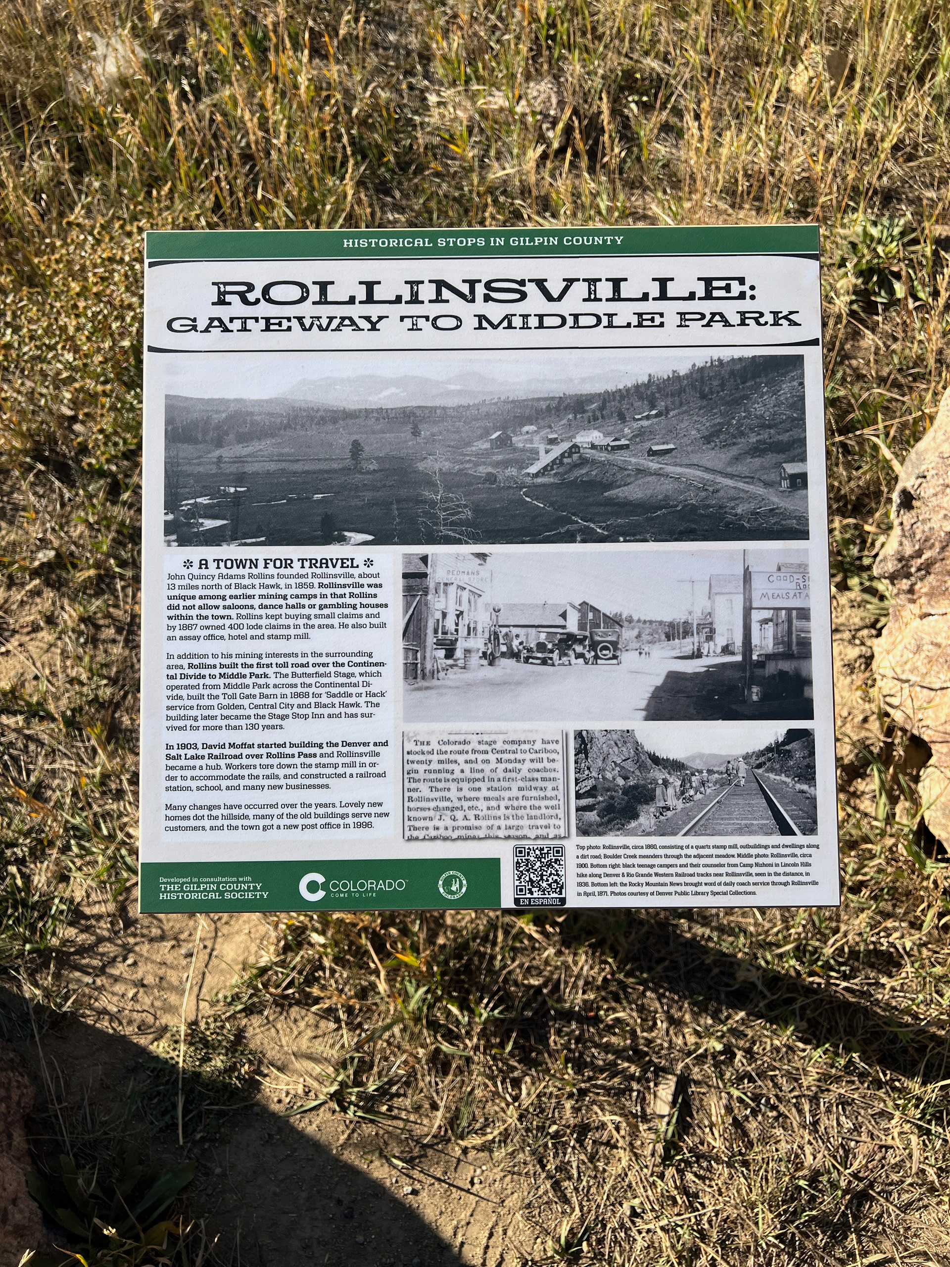
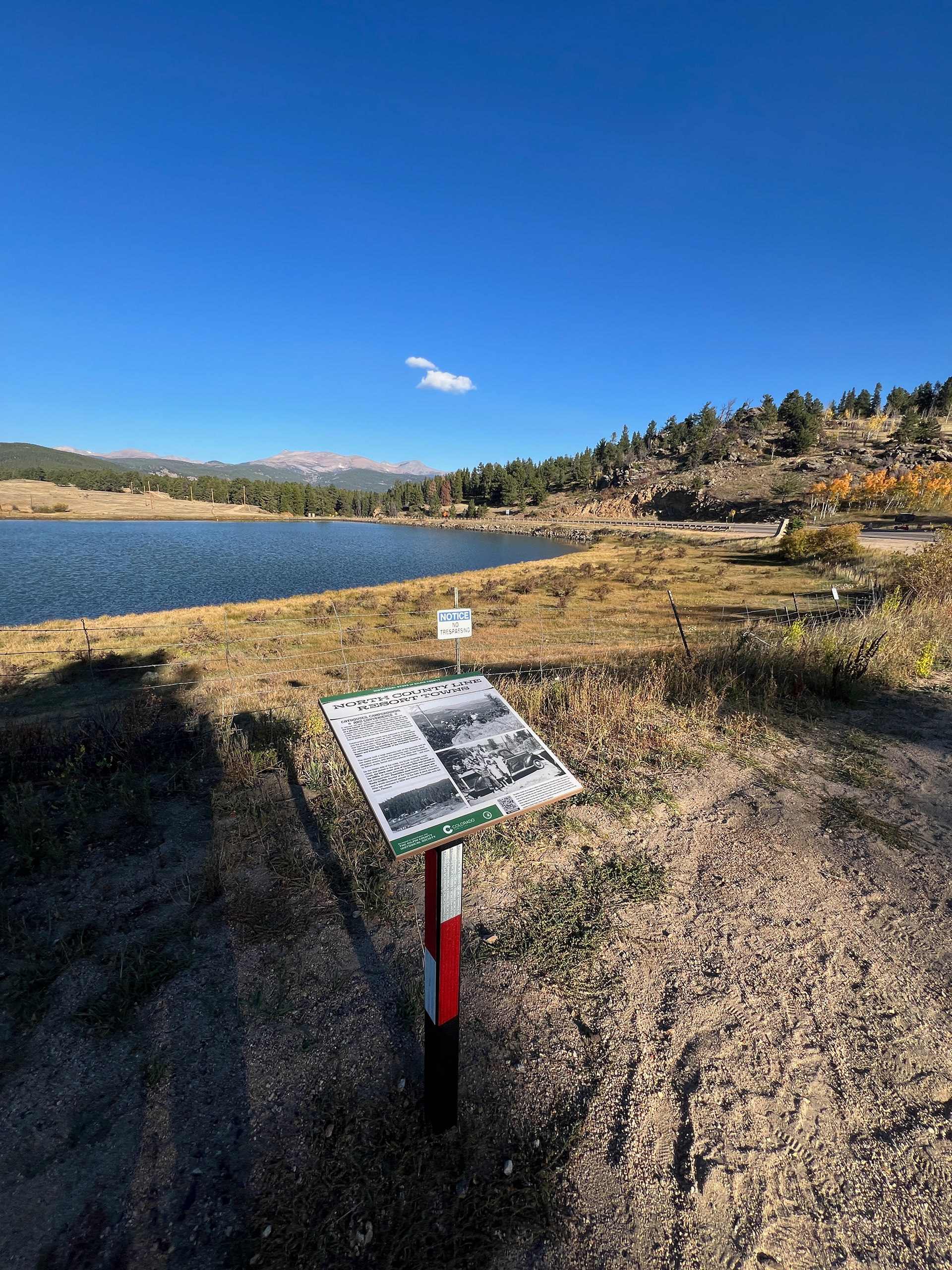
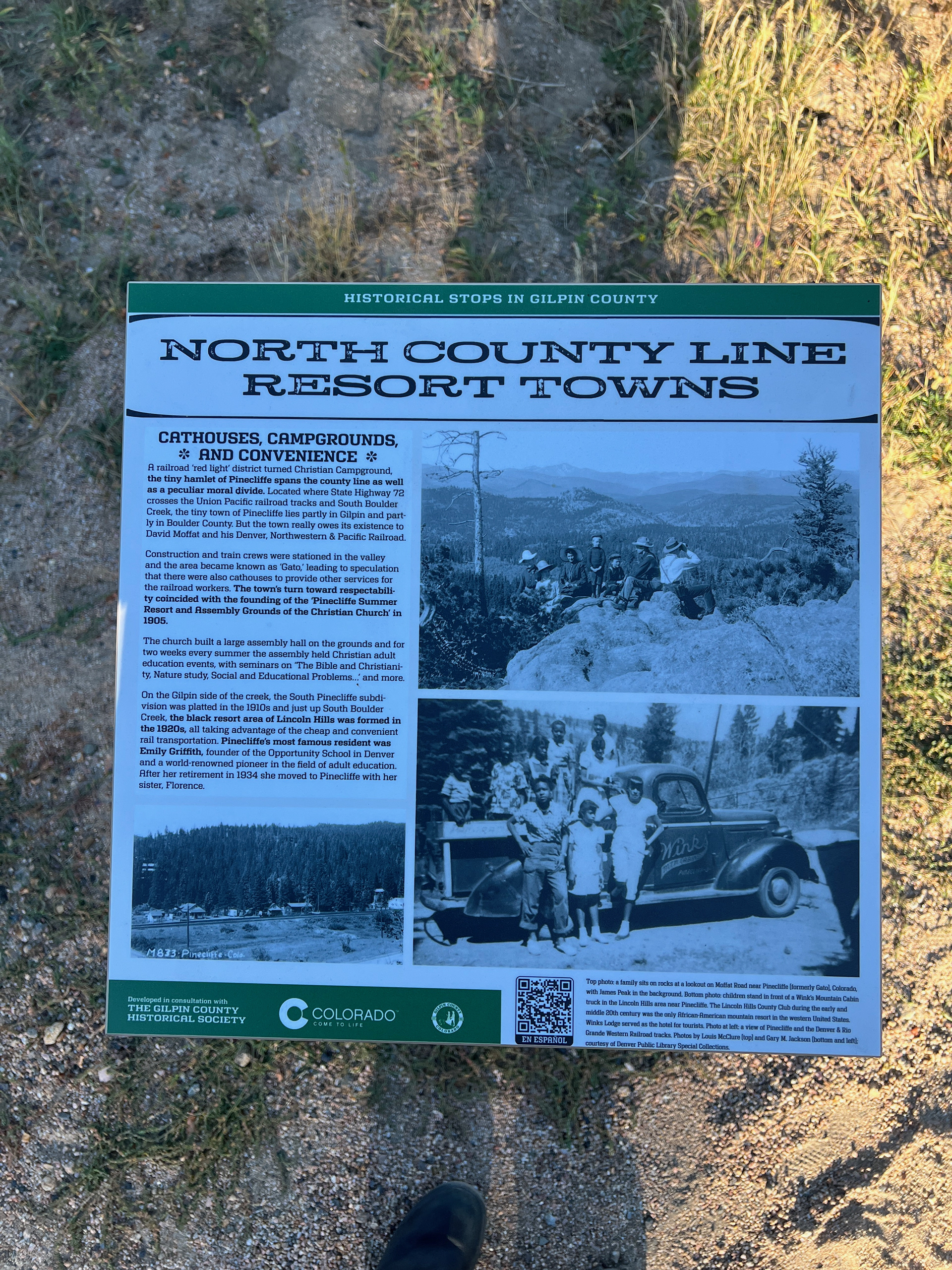
Gilpin County, Colorado asked Notchcode to create a series of roadside interpretive signs to mark notable locations where historic communities once were. These included one of Colorado's earliest immigrant Chinese mining camps, a popular summer resort for Denver's Black community, the nation's highest-altitude submarine wreck (!), and old stage and rail stops which are now long-gone.

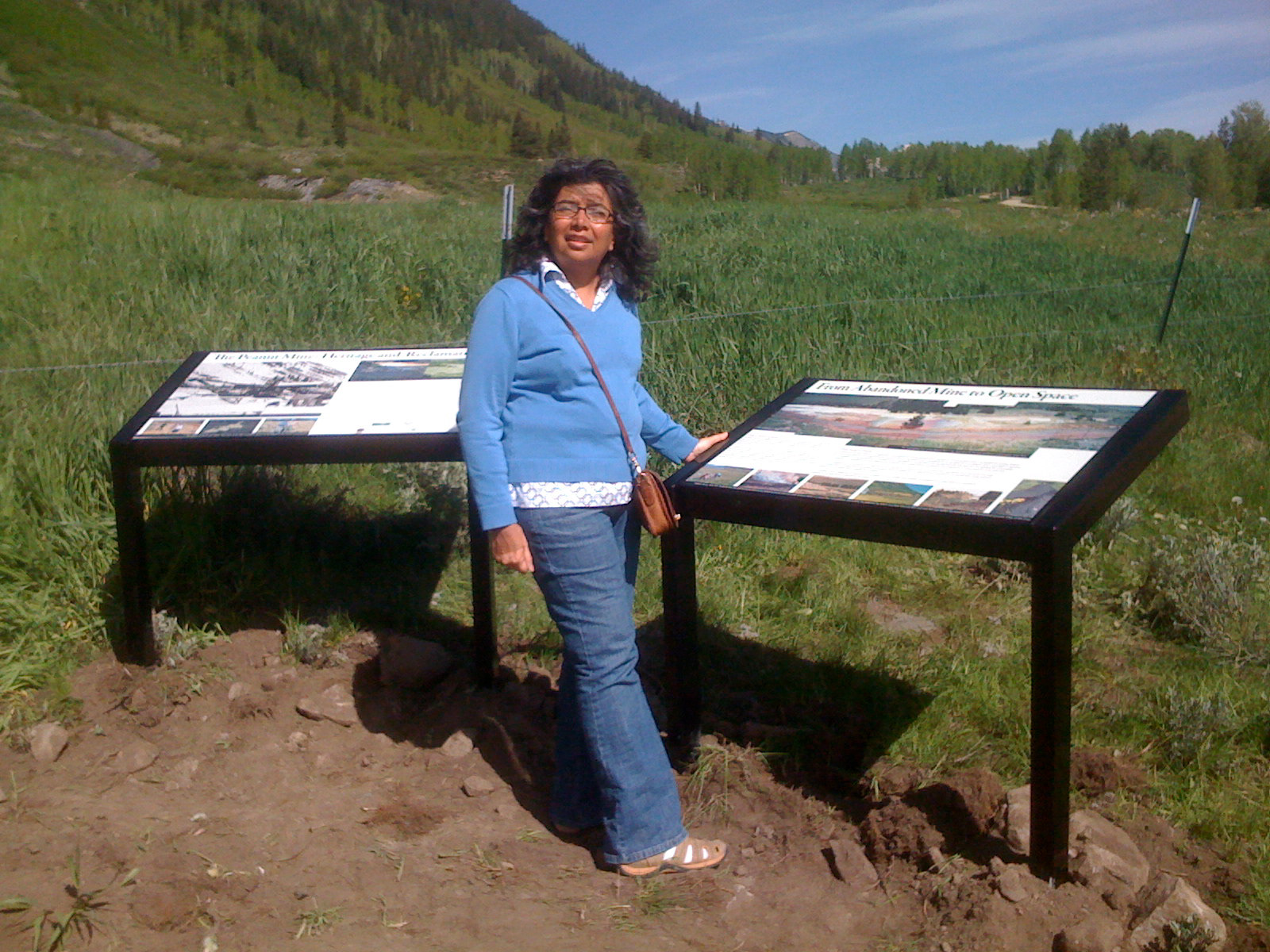
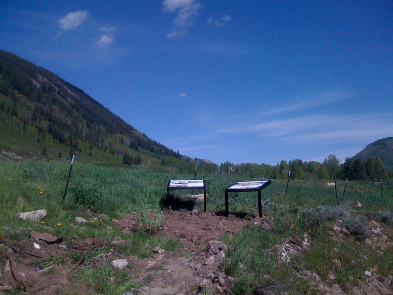
The Peanut Mine site near Crested Butte, Colorado was an award-winning reclamation project undertaken by the Division of Reclamation, Mining & Safety in the mid-2000s. We created a two-sign display to show the pre-reclamation state of the site as seen from the vantage point of the sign installation, and to tell the story of how important the Peanut was to the local economy. This was the first set of signs we created for the Division.
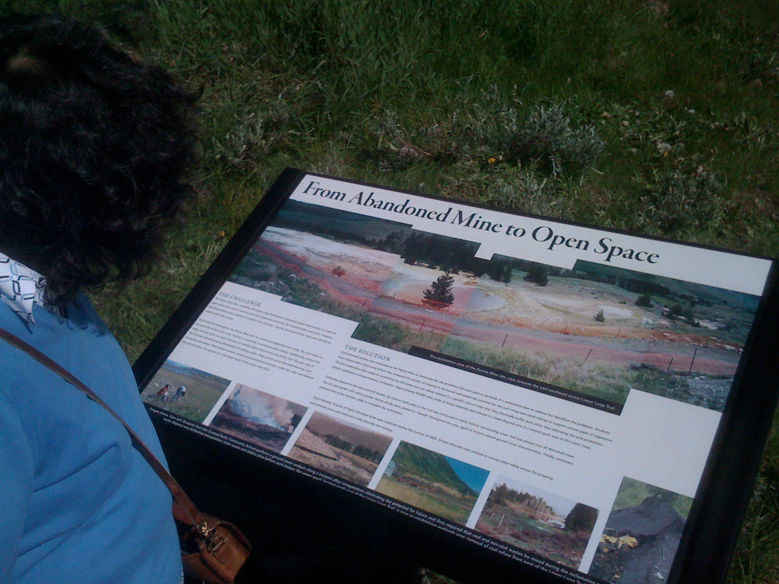
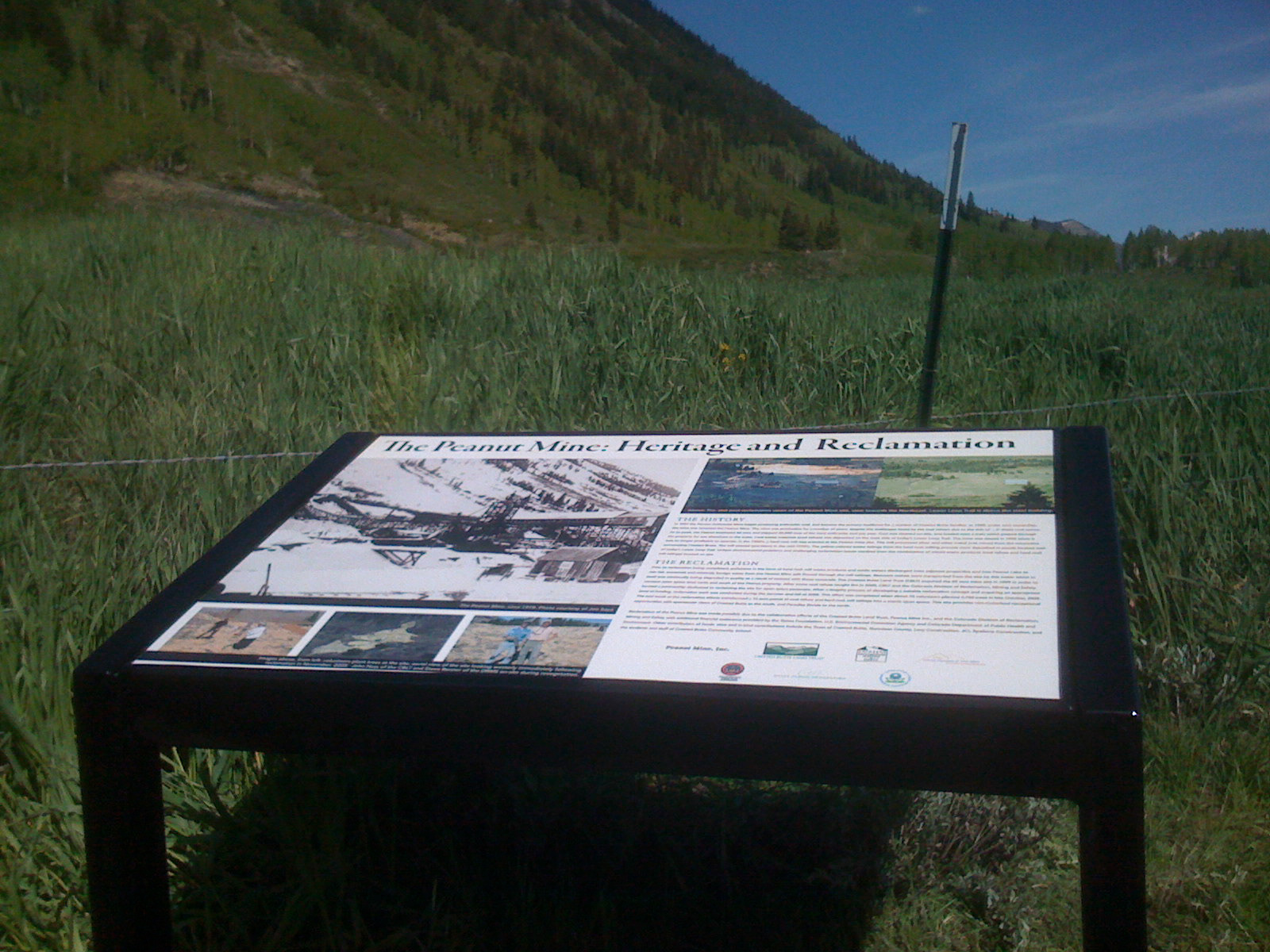
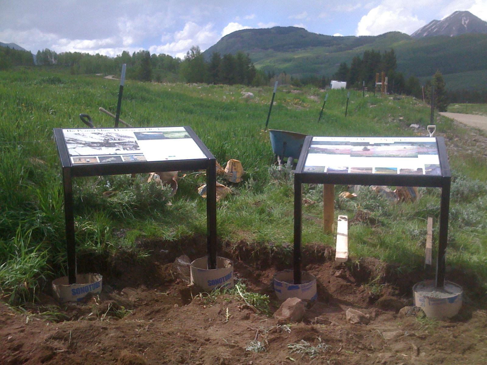
We've created several other signs for reclaimed mine sites over the years, including those seen below. They can be sighted by intrepid hikers and explorers on trails near Steamboat Springs, Cripple Creek, and Idaho Springs.
